
EXAMPLE: An Indian Map of the Upper-Missouri, 1801
- Title
- EXAMPLE: An Indian Map of the Upper-Missouri, 1801
- Subject
- Maps, Manuscript
Missouri River
United States - Description
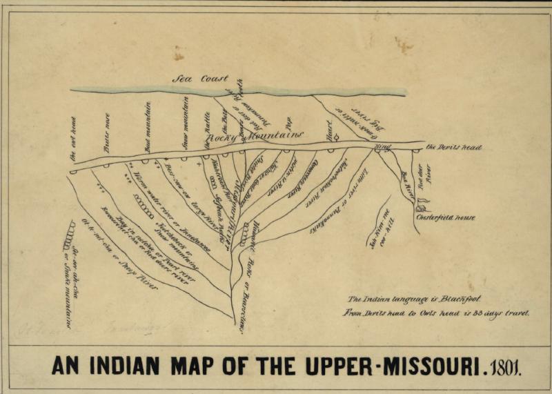
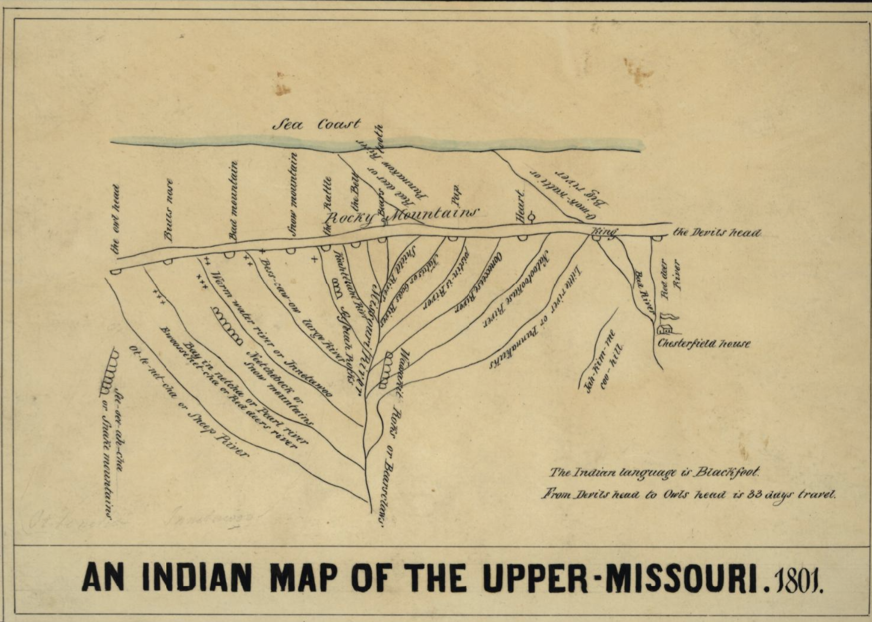
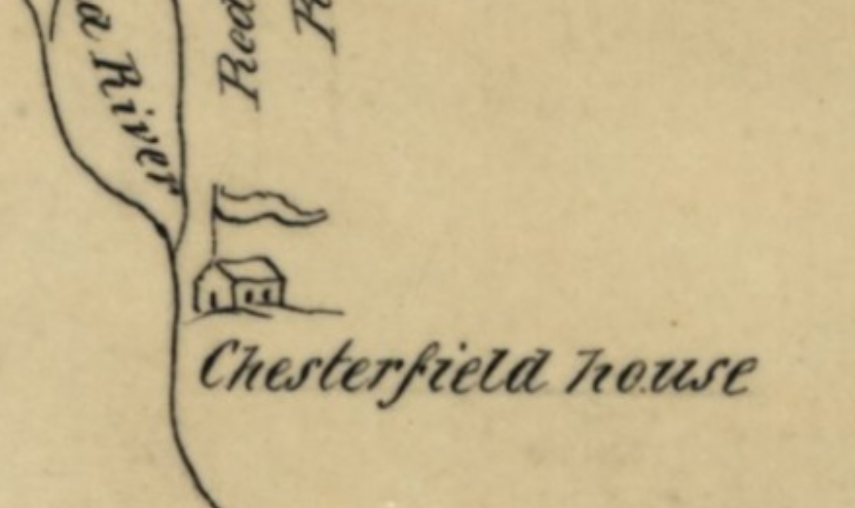
- An 1850 reproduction of an 1801 map created by Ackomokki (Siksiká Blackfoot) and Peter Fidler for the Hudson's Bay Company.
- Creator
- Ackomokki (Siksiká Blackfoot), Peter Fidler, J. G. Kohl
- Publisher
- Library of Congress (https://www.loc.gov/item/00556405/)
- Date
- 1850
- Rights
- Public Domain
- Format
- 1 ms. map : col. ; 15 x 25 cm.
- Language
- English, Blackfoot
- Type
- Map, image
- Identifier
- G4127.M5 1801 .K6
- Coverage
- Upper Missouri River Region, Nineteenth Century
Dublin Core
Files
Collection
Citation
Ackomokki (Siksiká Blackfoot), Peter Fidler, J. G. Kohl, “EXAMPLE: An Indian Map of the Upper-Missouri, 1801,” The Omeka Sandbox, accessed April 17, 2026, https://www.omeka.jenniferandrella.com/items/show/1.