Skip to main content
Advanced Search
The Omeka Sandbox
About
Browse Items
Browse Collections
Browse Exhibits
Neatline
Browse Items (1 total)
Browse All
Browse by Tag
Search Items
Tags: Indigenous mapping
Sort by:
Title
Creator
Date Added
Fur Trade
Indigenous mapping
maps
nineteenth century
Upper Missouri
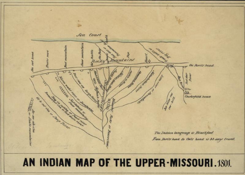
EXAMPLE: An Indian Map of the Upper-Missouri, 1801
An 1850 reproduction of an 1801 map created by Ackomokki (Siksiká Blackfoot) and Peter Fidler for the Hudson's Bay Company.
Showing 1 to 1 of 1 result
Output Formats:
atom
,
dcmes-xml
,
json
,
omeka-xml
,
rss2